
Présentation d'un nouveau produit du CDS-IS-OMP inscrit au catalogue ODATIS: il s'agit d'un jeu de données de bathymétrie à haute résolution en mer…

Bathymetry (from the ancient Greek "bathys" meaning "deep") involves mapping the seabed in order to make topographical surveys of the reliefs and to define the typology of these substrates.
Présentation d'un nouveau produit du CDS-IS-OMP inscrit au catalogue ODATIS: il s'agit d'un jeu de données de bathymétrie à haute résolution en mer…
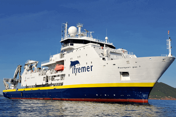
BICOSE2 : une campagne océanographique à bord du « Pourquoi Pas ? » pour étudier la biodiversité des grands fonds sur la dorsale médio-atlantique.

For measurements to the very deep, research vessels and underwater devices are equipped with multibeam sounders, acoustic systems using the acoustic backscattering properties of the seabed. Placed under the vessel, the multibeam sounder emits beams along a swath perpendicular to the vessel's axis. The backscattering of these waves on the seabed is received as a function of the angle of incidence, allowing simultaneous measurement of depth in n directions.
The interpretation of the wave travel time allows to derive the bathymetry while the exploitation of the amplitude of the received signal (image) describes the local reflectivity of the bottom, thus the characterization of surface sediments and the detection of objects.

For mapping both shallow and very shallow waters, other systems are used, such as interferometric sonars and airborne bathymetric lasers.
Interferometric sonars generally equip smaller vessels for very shallow depth mapping (0.5-100 m), with a smaller sample area. Two very wide receiving beams and two receiving antennas allow measurements at very high resolution with a cross section sampling of 1.5 cm.
Airborne bathymetric lidars measure water depth using near-infrared pulses (1064 nm) for reflections at the water surface and blue/green laser (532 nm) for reflections on the seabed.
On a global scale, altimetry satellites make it possible to measure surface heights and thus map ocean surface undulations with good spatial resolution. The geometry of the still ocean surface - free from meteorological, oceanographic and tidal disturbances - partially reflects the underwater topography due to minute variations in the gravitational force at the earth's surface. Thus, because of its mass alone, a volcano (as in Hawaii) creates an accumulation of water of about fifteen meters on a surface of several thousand square kilometers and therefore an undulation of the surface.
© Odatis 2026 - Tous droits réservés