Event details
OSTST 2022
Although the in person meeting is postponed, a shorter virtual meeting will be organized during the planned dates (24-28 March) that will be restricted to high-level summaries and open discussions. The meeting will not last the entire week and will be restricted to ~3h/day to allow different time zones to attend.
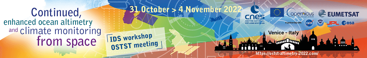
EUMETSAT et le CNES organize the next OSTST meeting on altimetry: "Continued, enhanced ocean altimetry and climate monitoring from space". This meeting is the opportunity to explore the performances of the satellite altimetry constellation and also to provide a forum to reflect on user needs for future systems.
OSTST splinters
- Application development for operations
- Instrument processing: Propagation, Wind Speed and Sea State Bias), Measurement and Retracking (LRM&SAR)
- Outreach, Education and Altimetric Data Services
- Precision orbit determination
- Quantifying errors and uncertainties in altimetry data
- Regional and global CAL/VAL for assembling a climate data record
- Science results from satellite altimetry
- The geoid, mean sea surfaces and mean dynamic topography
- Tides, internal tides and high-frequency processes
The "AVISO+ Meetings" website offers all the abstracts and presentations submitted by the authors. A forum open from October 28th to November 18th, allows participants to interact online. Access to the forum is open to all, by creating an account on "AVISO+ Meetings", without necessarily having submitted an "abstract" (frequently asked questions about access to the forum).
The ODATIS cluster is present in the "Outreach, Education and Altimetric Data Services" session with the poster "ODATIS, Ocean Data Information and Services for Easier Access to Data and Analytical Services". Studies and applications based on data managed by the Satellite Data and Services Centers CDS-SAT-CERSAT and CDS-SAT-AVISO are also the subject of several presentations.
Non-exhaustive list of some of these presentations including data managed by CDS-SAT-CERSAT and CDS-SAT-AVISO:
Further information
- on the OSTST 2022 website : registration, abstract submission, ect
- on the AVISO+ meeting website : access to the abstracts, oral and posters presentation for the past editions.
![[Translate to English:]](/fileadmin/_processed_/8/e/csm_202210_OSTST_twitter_f8b060eeee.png "[Translate to English:]")
[Translate to English:]